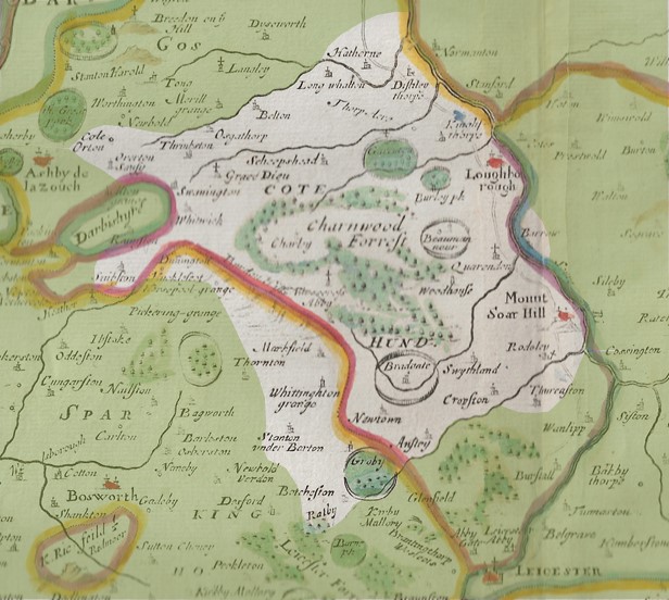
This data was gathered by volunteers as part of the Leicestershire Victoria County History Trust’s Charnwood Roots project (2013-17). We thank the Heritage Lottery Fund and the University of Leicester for their support.
You are free to use this data as you wish, but if you include it within any electronic or paper publication, website or display, please acknowledge its source as Leicestershire Victoria County History Trust Charnwood Roots Databank and provide a link to the page.
We are not aware that any of the images or other items in this databank breach copyright or any other regulations, but please contact us if you consider your rights have been infringed. By continuing to browse our website you agree to these terms and conditions.

I agree Our site saves small pieces of text information (cookies) on your device in order to deliver better content and for statistical purposes. You can disable the usage of cookies by changing the settings of your browser. By browsing our website without changing the browser settings you grant us permission to store that information on your device. We are not aware that any of the images or other items in this databank breach copyright or any other regulations, but please contact us if you consider your rights have been infringed.